Sentinel-2 Semantic Data & Information Cube Austria is the world's first prototype of a semantic Earth Observation data cube. It allows anyone to produce information from satellite imagery on a high semantic level using a code-free analysis within a standard Web-browser or mobile application (Sudmanns, M., Augustin, H., van der Meer, L., Baraldi, A., Tiede, D., 2021. The Austrian Semantic EO Data Cube Infrastructure. Remote Sens. 13, 4807). 

As defined by the team, "a semantic EO data cube or a semantics-enabled EO data cube is a data cube, where for each observation at least one nominal (i.e., categorical) interpretation is available and can be queried in the same instance". This concept establishes the generic core for a variety of user-centred application interfaces. The semantic enrichment used in the project is a physical-model-based, spectral categorisation with additionally derived information (Satellite Image Automatic Mapper – SIAM decision tree software). These processes are fully automated, applicable worldwide, and free of any user parameterization. Semantic enrichment enables the querying and analysis of big EO data at a higher semantic level (e.g. based on basic land cover units and coded ontologies) directly in EO data cubes. 

Sen2Cube.at allows any user to derive information from EO imagery without any programming necessary. An innovative graphical web interface allows users to build custom queries based on a novel graphical query language. This language is implemented in Sen2Cube.at using a variety of generic building blocks that each represent a distinct, clearly defined task or value inside the semantic querying process. It enables interactive queries that are comprehensive for non-programmers because they are based on spatio-temporal and semantic concepts rather than data-specific values or reflectances. It also allows more advanced users to develop and apply their own models using domain knowledge. 


Supplier: EODC Earth Observation Data Centre for Water Resources Monitoring GmbH


Cloud and EO Resources to Sustain the Cube

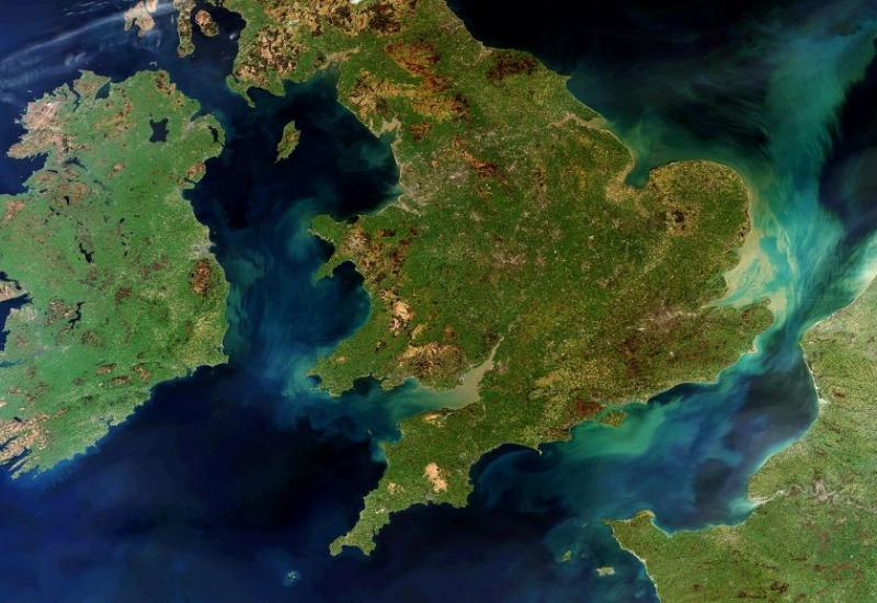
The prototypical semantic EO data cube implemented during the Sen2Cube.at project covers the entirety of Austria and contains all Sentinel-2 images available since the start of Sentinel-2A in 2015. It is implemented using open source and state-of-the-art scalable cloud-based infrastructure with lightweight virtualisation using containers (Docker). The knowledge-base can be augmented by the users themselves and is easily shared without the requirement of copying code snippets. The demonstrators that have already been successfully implemented are diverse and unique, even though they all use the same semantic EO data cube and query language. It is expected that approaches such as these contribute significantly to the uptake of EO data in new domains that are relevant to answer questions concerning the past, current and future state of the Earth’s surface (e.g., Sustainable development goals, Essential Climate Variables). 

For sustaining such a semantic data cube for a whole region/country, incorporating all semantically enriched Sentinel-2 data since 2015 (start of the mission), cloud resources and attached EO services (raw Sentinel-2 data) are necessary. This is especially important, when the system should be upscaled to allow new users/non-EO experts the analysis of terabytes of Sentinel-2 data only through their browsers. 

OCRE Funding

With OCRE funding that enabled use of resources from EODC Earth Observation Data Centre for Water Resources Monitoring GmbH, this developed prototype could now be scaled-up and sustained for the next three years to demonstrate for specific applications how users/non-EO experts can analyse terabytes of Sentinel-2 data within their browser without the need of any programming skills and integrate results GIS-ready into their workflows. Demonstrations developed at the moment are (1) SDG 15 related soil sealing analysis on-the-fly, (2) agricultural analyses for vegetation trends, crop type analysis etc. and (3) on-the-fly and ex-post analysis of natural hazards (e.g. landslides, storm damages in forest etc.) in any user defined area and time span (starting from 2015 with the first Sentinel-2 satellite). 

Scaling Up

Big EO data analysis is a very important research topic worldwide, facilitated by the open access of big EO data like European Copernicus data or US Landsat. Nevertheless, for smaller research units, the infrastructure for prototyping new approaches and test innovative methodologies with big EO data are limited. With the help of the OCRE funded solution we, the EO Analysis research group at the Department of Geoinformatics - Z_GIS, University of Salzburg, are provided with means to demonstrate, sustain and to scale-up our worldwide unique ideas of a semantic EO data cube.

This helps us in promoting our research ideas and increasing our chances for further research collaborations in national and international settings.

With the help of the OCRE funded solution we, the EO Analysis research group at the Department of Geoinformatics - Z_GIS, University of Salzburg, are provided with means to demonstrate, sustain and to scale-up our worldwide unique ideas of a semantic EO data cube.

Dirk Tiede, Z_GIS, University of Salzburg